
|
|
|
|
|
Hertfordshire & Bedfordshire, United Kingdom [9a] - The Chilterns over Easter - |
|
|
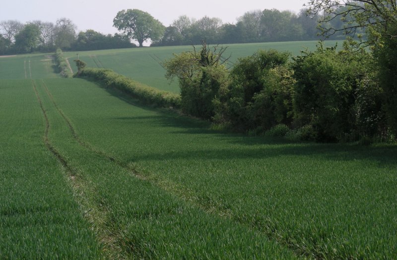
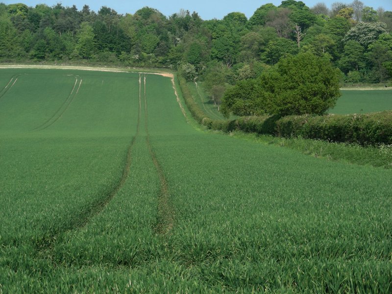
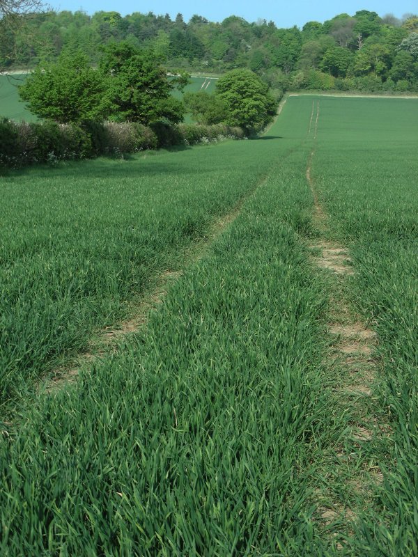
A walk along a length of cycle track along the Icknield Way from the village of Pirton. |
|
|
Easter weekend, Sunday 24th April. A colleague of mine had reminded me about the splendour of The Chilterns countryside near Hitchin, in Hertfordshire. I had also read much about it, particularly since the Icknield Way, an ancient route, runs through a significant section of these hills. In pre-Roman times, the Chiltern ridge provided a relatively safe and easily negotiable route across southern Iron Age England, thus the Icknield Way follows the line of the hills. Its name comes from that of the Cilternsaete, a tribe that occupied the area in early Anglo-Saxon period. One of the principal Roman settlements in the Roman Province of Britannia Superior was sited at Veralamium (now St Albans) and there are significant Roman and Romano-British remains in the area. The Chilterns stretch in a 76 km southwest to northeast diagonal from Goring-on-Thames in Oxfordshire, through Buckinghamshire, via Dunstable Downs and Deacon Hill in Bedfordshire, to near Hitchin in Hertfordshire. The scarp overlooks the Vale of Aylesbury, and approximately coincides with the southernmost extent of the ice sheet during the last ice age. Their highest point is 267 m at Haddington Hill near Wendover in Buckinghamshire; a stone monument marks the summit. The nearby Ivinghoe Beacon is a more prominent hill, although it only stands 249 m above sea level. It is the starting point of the Icknield Way Path and the Ridgeway long distance path, which follows the line of the Chilterns for many miles to the west, where they merge with the Wiltshire downs and southern Cotswolds. Strictly speaking, though it is just the other side of Hitchin, my walk on this day encompassed The Chilterns in Bedfordshire. I had previously cycled the entire Ridgeway from Avebury in Wiltshire and walked the last section to Ivinghoe Beacon. I scoured the web a day or so earlier and the village of Pirton seemed to present itself as a good starting point for my Easter weekend walk, though I had not really figured out a specific route. Had I taken my bicycle, I could have done it in a quarter of the time however I probably wouldn't have managed to stop as often as I did to capture this beautiful countryside on camera. To be fair, it was a hazy, smoggy day. Smog alerts therefore being the order of the day in London over Easter weekend, I wasn't holding my breath. |
|
|
|
|
|
|
|
|
|
|
|
|
|
|
|
|
|
|
|
|
|
|
|
|
|
|
|
|
|
|
|
 |
|
 |
|
|
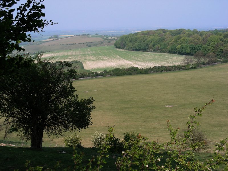
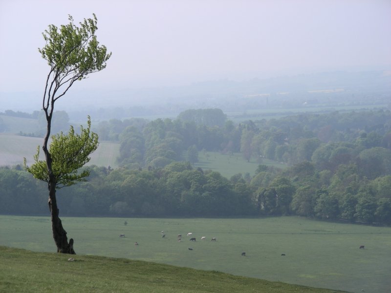
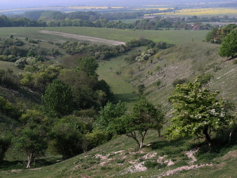
I set out around two in the afternoon from the village of Pirton, picking up the start of the cycle track on the southern side of he town near the Hitchin road. The white, chalk path, hard and solid underfoot, follows a line of trees obscuring the surrounding landscape and adjacent farmland, running up the hillside towards the Hexton Road. It continues just up the road at what appears to be a popular parking spot, continuing towards Deacon Hill. I scampered up the hillside and once at the top, I could see for miles into the haze, to the north and west into Bedfordshire. Below lay the town of Pegsdon. Following a path over the hillside and down into a dip, passing through a series of gates, I eventually reached Telegraph Hill where I rejoined the Icknield way Path heading west until the path seemed more exposed. Just where the Icknield Way runs along a road leading from Hexton into Luton, I joined the John Bunyan path, running south, taking me past Lilley Manor Farm, where I crossed under a line of overhead power lines. I crossed a Permissive Path known as Kingshill Lane. To the left of me, running perpendicular to the Icknield Way, I spotted some woods on a hillside running south towards the A505 between Hitchin and Luton. Just when I could begin to hear cars racing up and down the motorway, I turned east towards the wooded hillside, where I then joined a path designated on the map as Lilley Hoo, that would return me to Telegraph Hill. I took a moment's break for a tea at Deacon Hill, as the shadows grew longer and the sun began to fall in the sky. Much of the surrounding landscape was now transformed into a myriad of colours at this time, hues of blue, green and yellow, the latter as a result of the blossoming of cultivated rapeseed, the bright yellow flowering member of the family Brassicaceae (mustard or cabbage family), which is used to derive canola. I picked up the pace and strode back to the car but not before I explored the grounds of St Mary's in Pirton. The history of Pirton seems to reflect much in terms of Roman and Anglo-Saxon history however it is for a Motte and Bailey Castle that the town appears to be most famous for. |
|
 |
|
 |
|
 |
|
|
|
 |
|
 |
|
|
|
 |
|
 |
|
 |
|
 |
|
|
|

 |
|
|
|
 |
|
 |
|
 |
|
 |
|
|
|
|
|
|
[UK - index] [Home Page] Hertfordshire [9a] [9b] |
|
Links to other websites: |
|
|
|
. |


